Drone & Aerial Services
Drone & Aerial Services
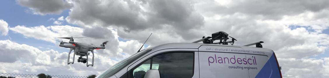
Our staff are trained Unmanned Aerial Vehicle Pilots recognised by the Civil Aviation Authority (CAA) and hold a licence for commercial operation. Using our Drones, we are able to offer clients aerial images and real-time video footage of their site and undertake aerial and volumetric surveys. Footage can be utilised as visual evidence of site progression at regular intervals throughout construction projects from the existing site to the completed. We can also assist with satisfying planning conditions, allowing visual inspections of areas otherwise inaccessible i.e. roofs, and provide 3D point cloud and contour information to aid civil design.
Utilising our in-house team, we often combine Drone Surveys with Topographical GPS Surveys and 3D Laser Scanning which allows us to speed up the process and help reduce costs. Unlike when undertaking various other surveys, our Drone Surveyors do not need to gain access to the area which may otherwise cause disruption to site activities – no need for scaffolding or ladders to access roofs. Using a drone in the correct application is key, our professionally trained staff will be able to advise you on what type of survey will work best for you based upon the requirements of your proposed outcome.
Our Drone Surveys can produce exports in 2D models, 3D models and Point Cloud Files for direct import to Revit, AutoCAD, Sketch Up and Trimble Business Centre.
Please see below a video compilation of our drone highlights:
Check out our Drone & Aerial Projects page to see the Project Gallery!

For further information please contact our Surveying Team on 01953 452001 or pdc@plandescil.co.uk
