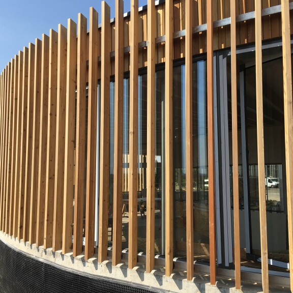
Drone & Aerial Services
Services
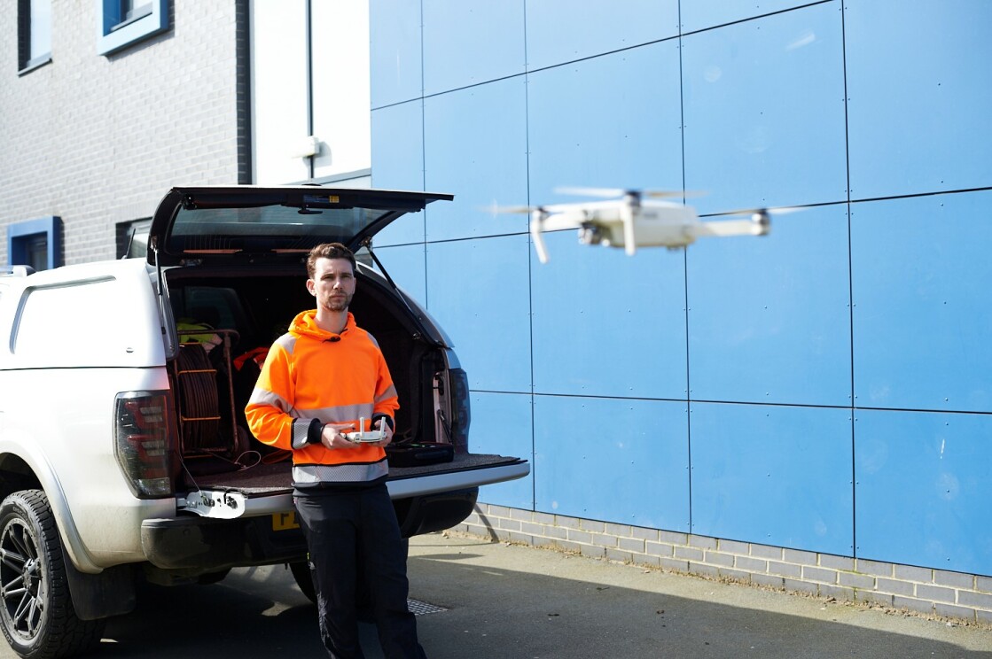
Our team includes trained unmanned aerial vehicle pilots recognised by the Civil Aviation Authority (CAA) with a licence for commercial operation to offer our clients peace of mind.
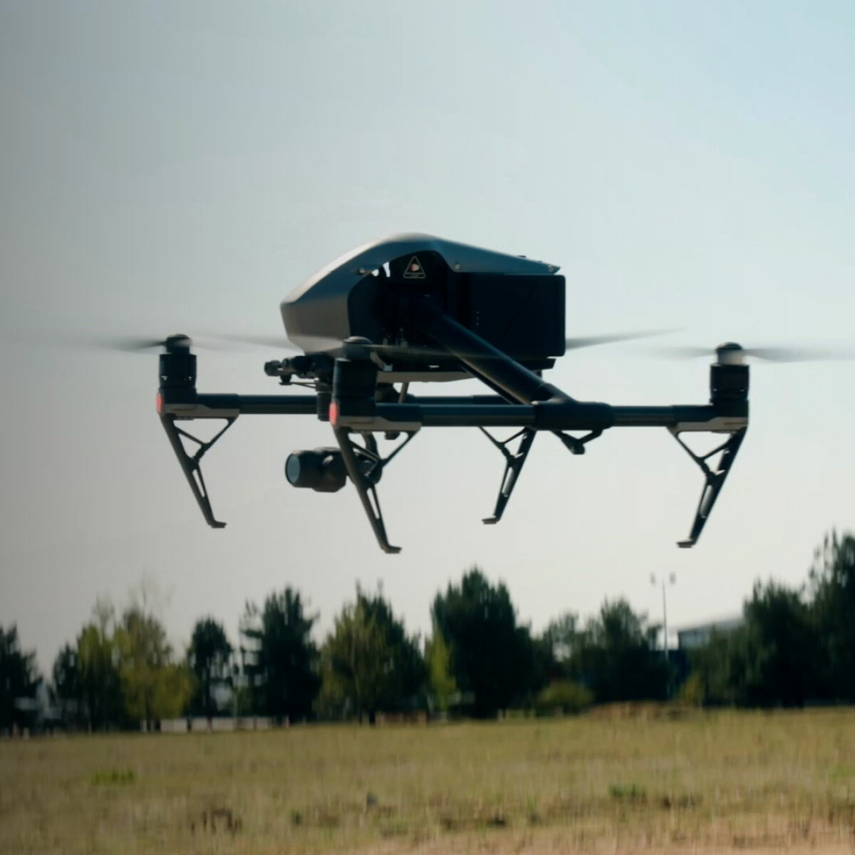
Our team includes trained, unmanned aerial vehicle (UAV) pilots recognised by the Civil Aviation Authority (CAA) with a licence for commercial operation to offer our clients peace of mind. Using our drones, we can offer all our clients high-resolution aerial images and real-time video footage of their sites and undertake aerial and volumetric surveys.
Thanks to developments in UAV and camera technology over the last few years, drones can now use cameras that shoot footage up to 5.2k resolution for both stills and videos. This provides incredible clarity and improved accuracy, allowing it’s use in almost any situation.
We provide the following services:
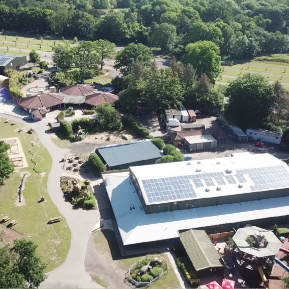
- Drone survey
- Visual inspections of otherwise inaccessible areas
- Provide an overall timeline of the existing site conditions for the completed project
- Providing 3D point cloud and contour information
- Combine drone surveys with topographical GPS surveys and 3D laser scanning
Our
Projects
Our other
Services
Let's take
the next step
forward
together
Let's take
the next step
forward
together
This site is protected by reCAPTCHA and the Google Privacy Policy and Terms of Service apply.